
CHF 5'000.00
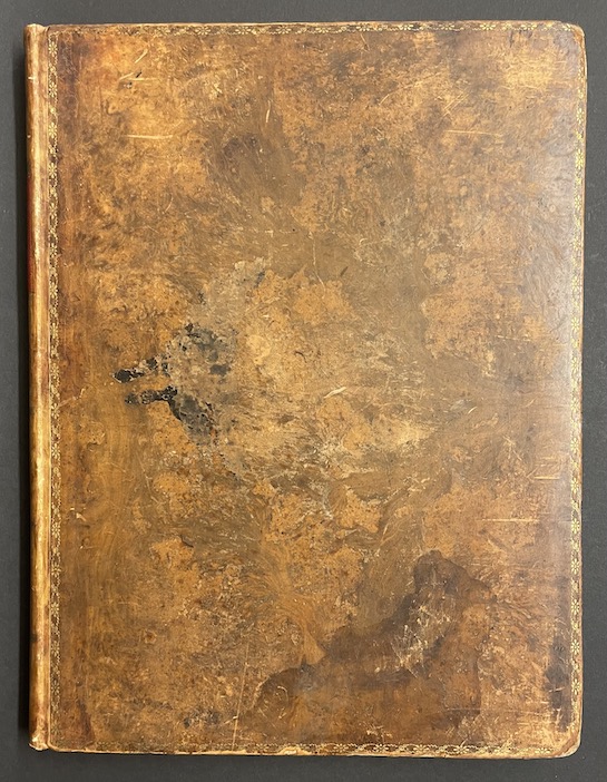
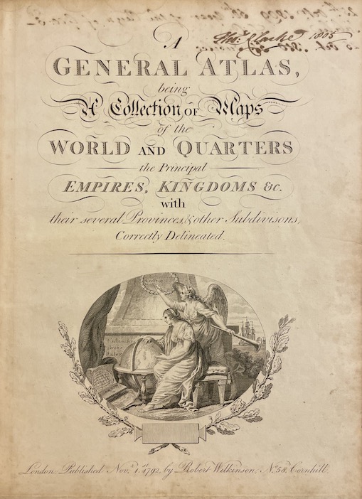
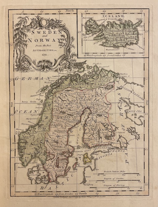
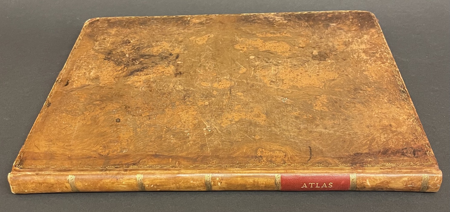
WILKINSON (Robert) A General Atlas being A Collection of Maps of the World and Quarters the Principal Empires Kingdoms &c. with their several Provinces & other Subdivisions, Correctly Delineated. Londres, Robert Wilkinson, 1792 [1793].
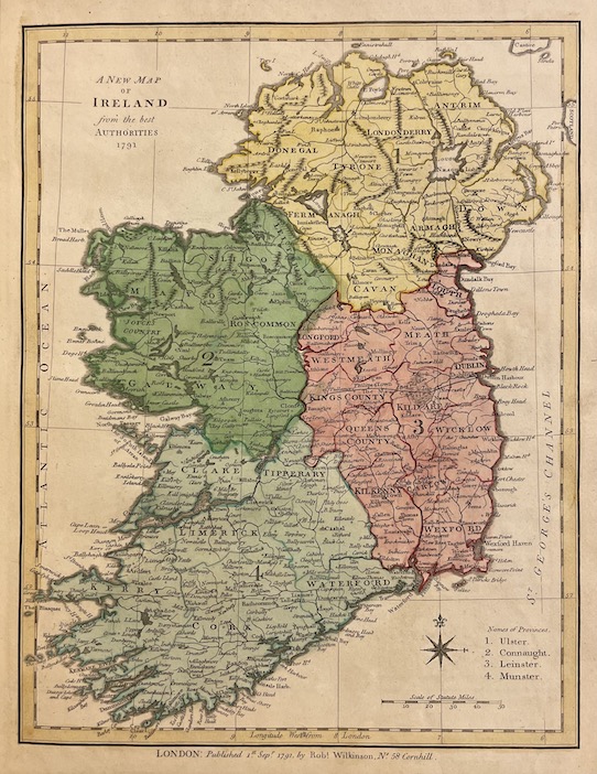
Important atlas de 44 cartes, toutes datées de 1791 ou 1792, coloriées à la main.
World – Mercator’s World – EUROPE – Sweden and Norway – Denmark – Russia – Poland – Prussia – Great Britain and Ireland – England and Wales – Scotland – Ireland – Seven United Provinces – Netherlands – Germany – Upper Saxony – Lower Saxony – Westphalia – Upper and Lower Rhine and Franconia – Silesia – Bohemia – Bavaria – Swabia – Austria – Hungary and Transylvania – France divided into Provinces – Ditto into 83 Departments – Switzerland – Spain and Portugal – Italy – Middle part of Italy… – Naples and Sicily – Turkey in Europe – ASIA – Hindoostan – Southern Provinces of Hindoostan… – Islands and Channels between China and New Holland – China – New South Wales…. – AFRICA – NORTH AMERICA – West Indies – South America.
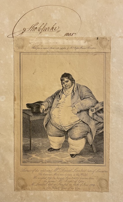
Inscription au dos de la page de titre gravée. Ex-libris armorié de Edm. Cheselden sur premier contreplat et gravure représentant Daniel Lambert, l’homme le plus lourd du monde collée en page de garde (?).
1 en stock
Informations complémentaires
| Auteur | WILKINSON (Robert) |
|---|---|
| Lieu d'éd. - Editions - Achevé d'imprime | Londres, Robert Wilkinson, 1792 [1793]. |
| Nbre de vol - format - nbre de pages | Pt. in-folio (34 X 25 cm), 44 ff. |
| Genre | ATLAS, CARTES |
![WILKINSON (Robert) A General Atlas being A Collection of Maps of the World and Quarters the Principal Empires Kingdoms &c. with their several Provinces & other Subdivisions, Correctly Delineated. Londres, Robert Wilkinson, 1792 [1793].](https://cabinetamateur.ch/wp-content/uploads/cpls-library-images/43243_1.jpg)
![WILKINSON (Robert) A General Atlas being A Collection of Maps of the World and Quarters the Principal Empires Kingdoms &c. with their several Provinces & other Subdivisions, Correctly Delineated. Londres, Robert Wilkinson, 1792 [1793]. – Image 2](https://cabinetamateur.ch/wp-content/uploads/cpls-library-images/43243_2.jpg)
![WILKINSON (Robert) A General Atlas being A Collection of Maps of the World and Quarters the Principal Empires Kingdoms &c. with their several Provinces & other Subdivisions, Correctly Delineated. Londres, Robert Wilkinson, 1792 [1793]. – Image 3](https://cabinetamateur.ch/wp-content/uploads/cpls-library-images/43243_3.jpg)
![WILKINSON (Robert) A General Atlas being A Collection of Maps of the World and Quarters the Principal Empires Kingdoms &c. with their several Provinces & other Subdivisions, Correctly Delineated. Londres, Robert Wilkinson, 1792 [1793]. – Image 4](https://cabinetamateur.ch/wp-content/uploads/cpls-library-images/43243_4.jpg)
![WILKINSON (Robert) A General Atlas being A Collection of Maps of the World and Quarters the Principal Empires Kingdoms &c. with their several Provinces & other Subdivisions, Correctly Delineated. Londres, Robert Wilkinson, 1792 [1793]. – Image 5](https://cabinetamateur.ch/wp-content/uploads/cpls-library-images/43243_5.jpg)
![WILKINSON (Robert) A General Atlas being A Collection of Maps of the World and Quarters the Principal Empires Kingdoms &c. with their several Provinces & other Subdivisions, Correctly Delineated. Londres, Robert Wilkinson, 1792 [1793]. – Image 6](https://cabinetamateur.ch/wp-content/uploads/cpls-library-images/43243_6.jpg)